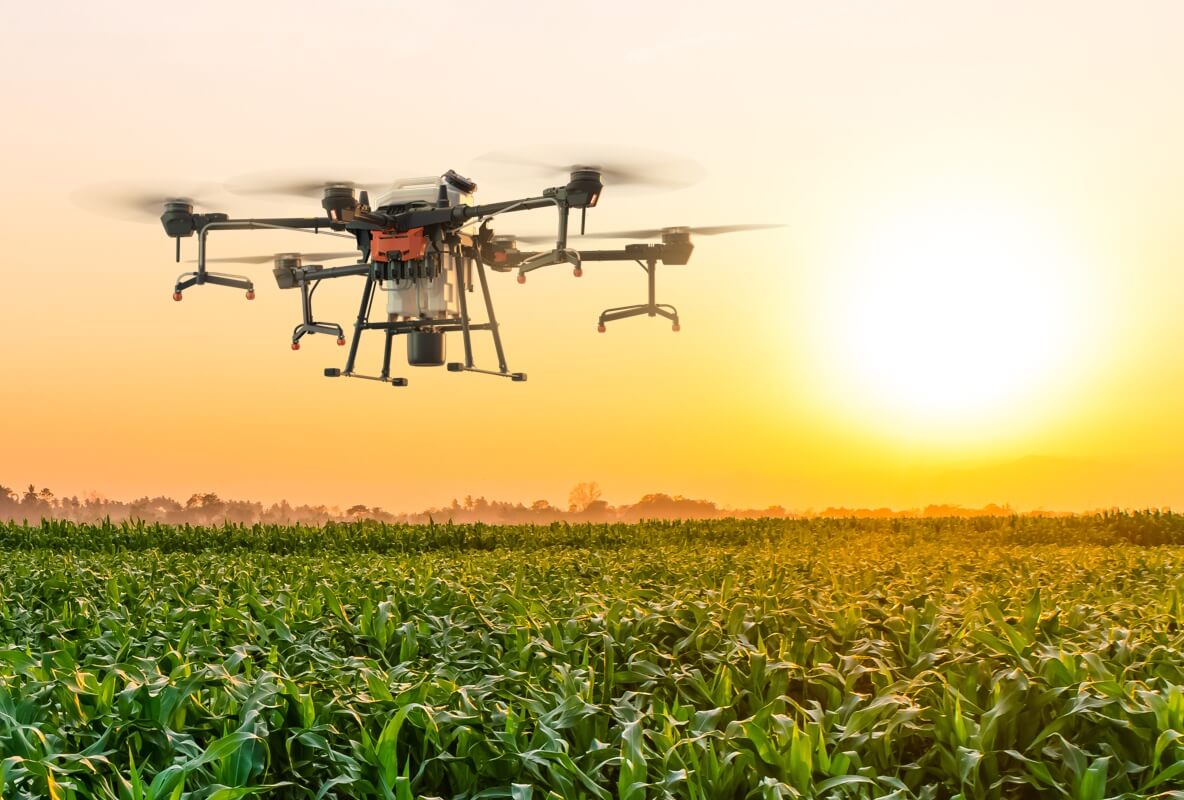
Drone Radar Application for Survey Mapping drone and Agriculture drone.
Agriculture Drone and Survey Mapping drone application
Topviewer provide compact K-band alitmeter drone and obstacle avoidance radar, which can measure the drone height and obstacle objects in real time and provide with distance, speed, and angle information. It is compatible with Ardupilot/PX4 flight control platform. It meets the multi-field ranging needs of unmanned aerial platforms (UAV/UAS), which is widely used for agriculture drones, surveying drones, mapping drones and patrol drones.
1.Agriculture Drone Application.
2.Survey Mapping Drone Application

Related Case

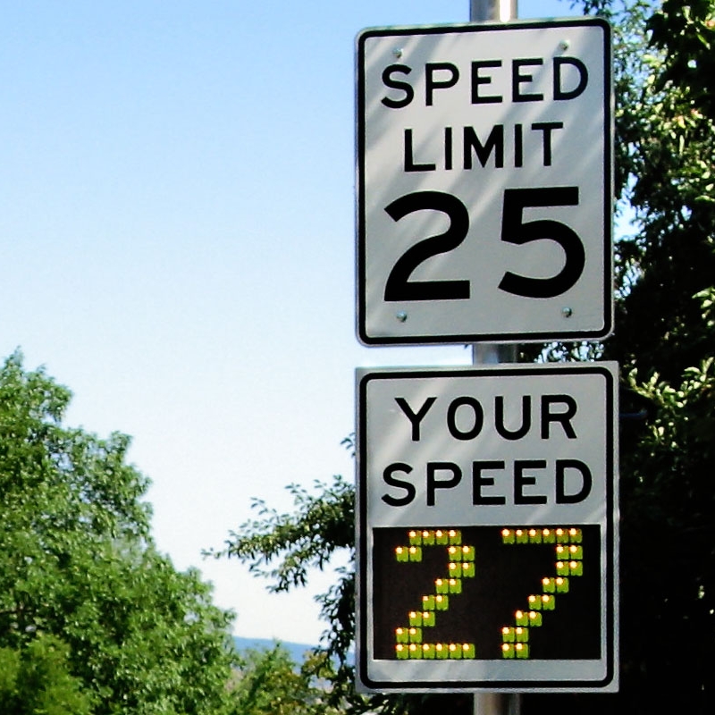 Traffic speed radar for speed sign and road allert
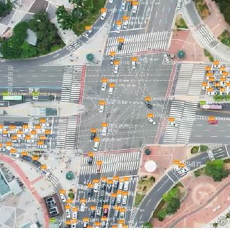 Traffc Radar for Intelligent Traffic System on Intersection and Bridge
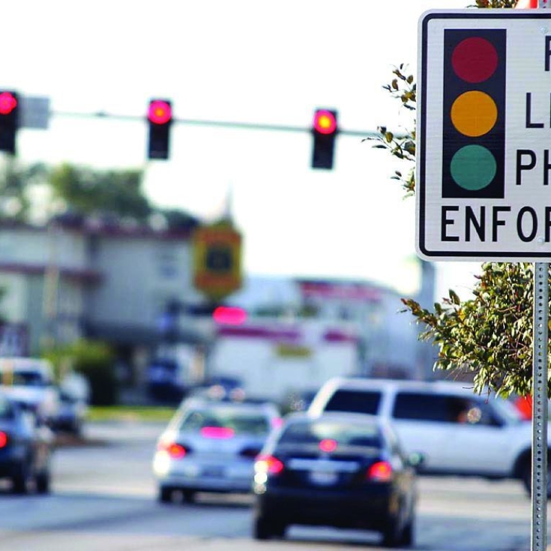 Law Enformcement Application for City Road and Highways